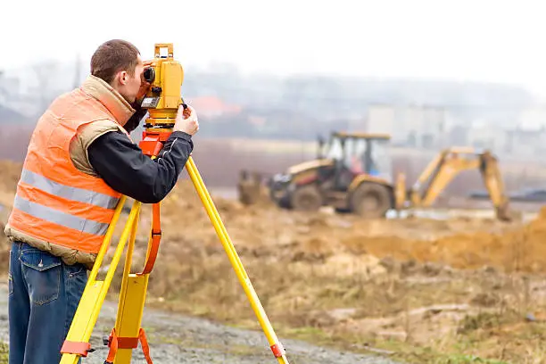
Topographical Survey
We map natural and man-made features of the land with high accuracy to support planning and engineering work. This survey provides detailed elevation data, contours, structures, utilities, and terrain obstacles. Essential for design, land development, drainage planning, and feasibility studies to avoid costly construction issues later.
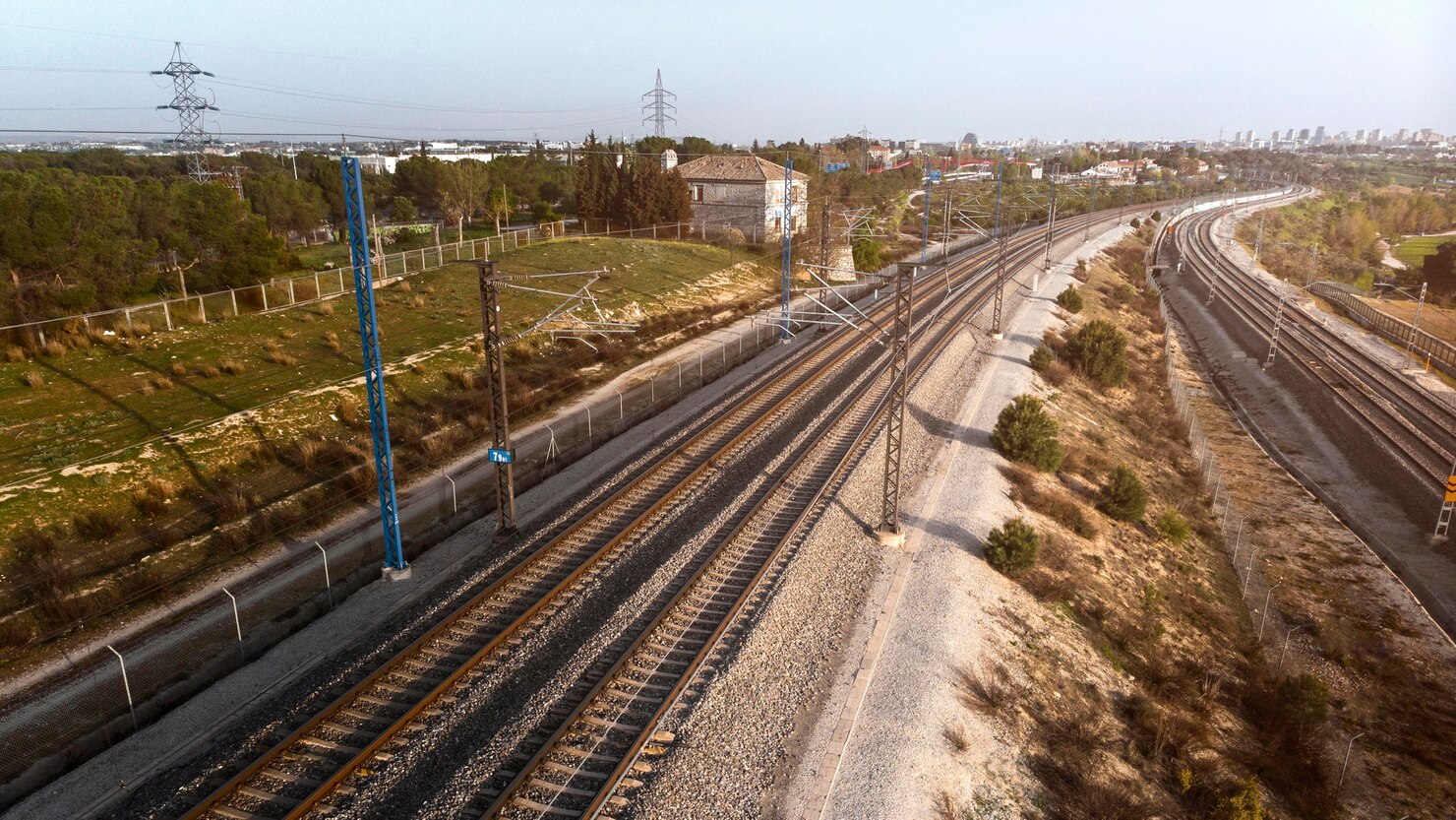
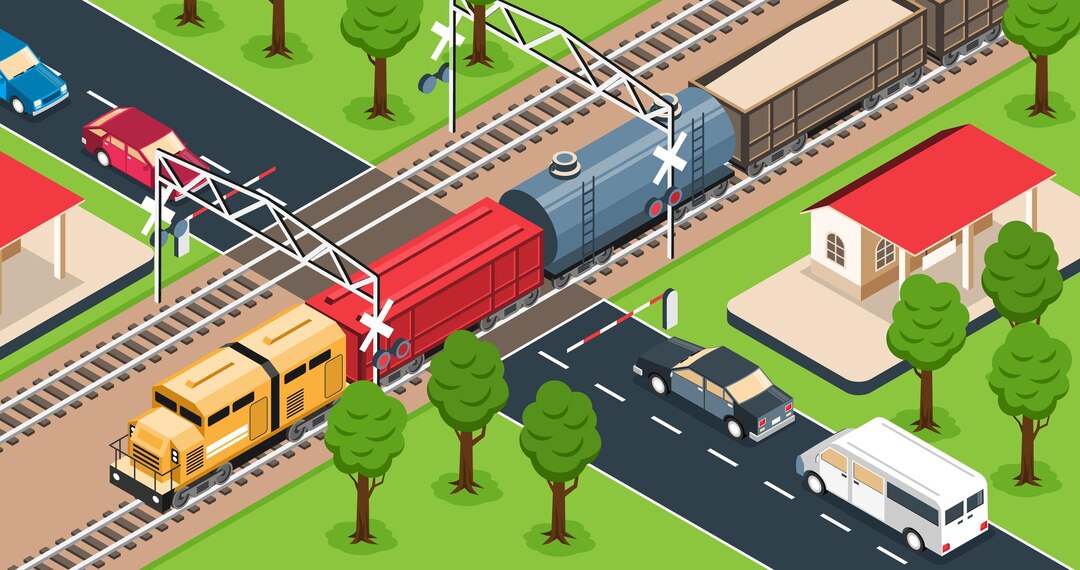
Railway Alignment Design
We design optimal railway alignments considering gradients, curves, safety standards, land availability, and construction economics. Our engineering-focused approach ensures smooth train operations, reduced travel time, and minimal maintenance. We deliver drawings, profile plans, and practical solutions aligned with government and IR standards.

Quantity Survey
We calculate earthwork and material quantities with precision to support accurate budgeting and tendering. Our detailed BOQs prevent overruns, disputes, and wastage. Reliable for road, railway, canal, and infrastructure projects requiring exact estimation for excavation, filling, pavement layers, and structural components.
Railway & Road Cross-Section Design
We prepare accurate cross-sections that guide leveling, earthwork, drainage, and pavement design. Alignment-matched sections ensure structural stability and optimized material usage. These drawings are crucial for planning cut-fill balance and ensuring smooth project execution without rework on-site.
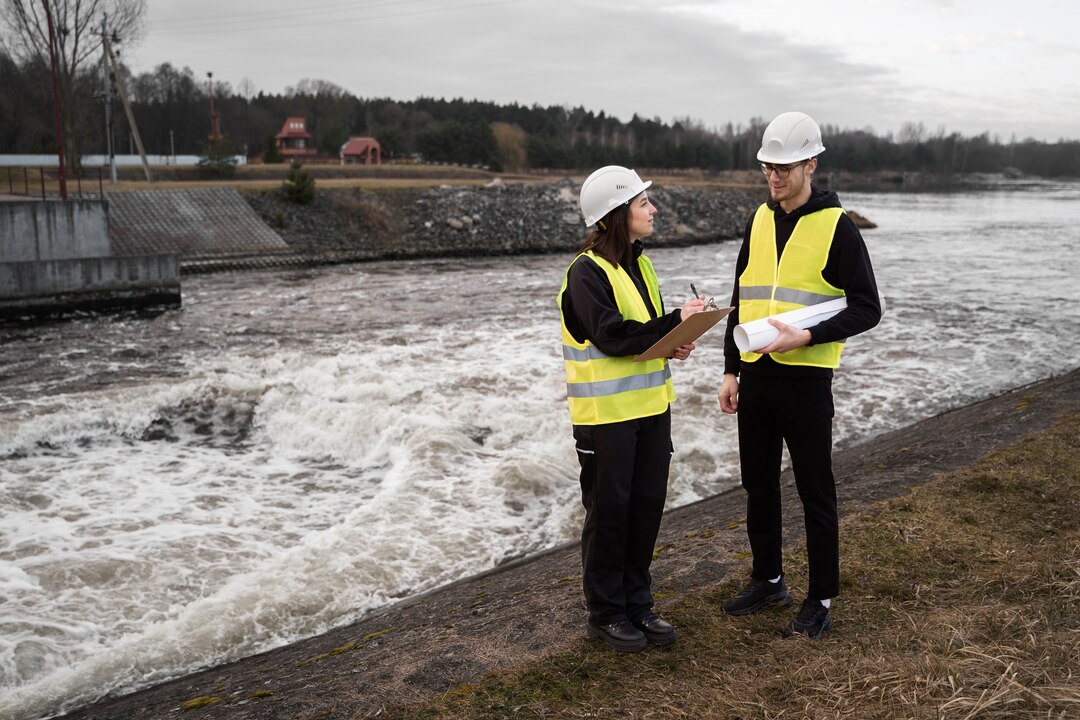
Bridge Survey & Alignment Marking
We provide bridge location surveys, alignment marking, and site evaluation for foundations, piers, and approaches. Data includes river/terrain profiles, flow direction, and clearance requirements. Ensures correct positioning and structural safety before construction begins.

Contour Survey
We generate contour maps that show terrain variations essential for land development, drainage analysis, and slope design. Contour data helps prevent flooding, optimize earthwork, and support architectural and engineering planning with realistic land profiles.

Boundary Survey
We accurately establish and verify legal property boundaries using approved land records and high-precision instruments. Prevents disputes, encroachments, and legal issues. Ideal for property transactions, fencing, and construction compliance.
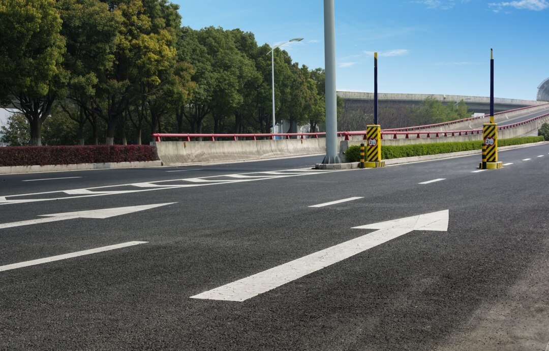
Road Survey
We conduct route surveys, centerline marking, and alignment data collection for road design. This includes terrain evaluation, drainage considerations, and intersection planning for durable, safe, and cost-effective road construction.
Canal Survey
We survey canal routes, cross-sections, and hydraulic alignment to ensure smooth water flow and maximum irrigation efficiency. Data supports embankment design, lining planning, and water distribution without leakage or overflow issues.

Bridge Alignment & Setting Out
We set out pier, abutment, and foundation positions based on design coordinates. This service ensures the bridge is built exactly on alignment, with accurate levels and spacing, preventing structural misalignment or future safety failures.
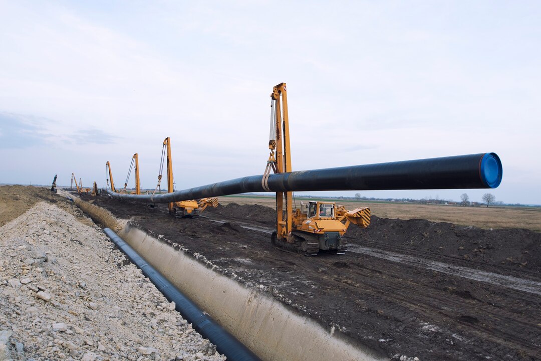
Pipeline Route Survey
We determine feasible pipeline routes avoiding obstacles, selecting optimal gradients, and assessing right-of-way constraints. Survey covers utility mapping, terrain elevation, and access planning for reliable water, gas, or industrial pipelines.
Transmission Line Survey
We survey transmission routes, tower spotting, and ground clearance analysis. The goal is power line safety, minimal land disturbance, and compliance with electrical standards. Includes terrain profiling for structural and sag calculations.

Agricultural Land Survey
We provide accurate land measurements and mapping to assist in irrigation planning, land leveling, fencing, and crop layout design. Prevents boundary disputes and supports government documentation or subsidy applications.

Industrial Land Survey
We survey industrial plots for factory layout, utility planning, and expansion projects. Ensures correct land boundaries, structural positioning, and compliance with regulations, enabling efficient site development and logistics planning.

Residential Plot Survey
We mark boundaries, setbacks, and house placement with exact measurements for homeowners and builders. Reduces construction mistakes, ensures full use of the plot, and avoids future legal complications with neighbors or authorities.
Boundary Demarcation Survey
We mark property limits physically using pegs or markers based on legal records and survey data. Essential for dispute resolution, land division, and construction approvals with precise on-site boundary identification.

Drone Survey
Aerial surveys using drones to capture high-resolution images, terrain contours, volumetric data, and progress monitoring. Faster, safer, and more detailed than traditional methods, ideal for large or complex sites requiring rapid and accurate mapping results.